The 81st District Map
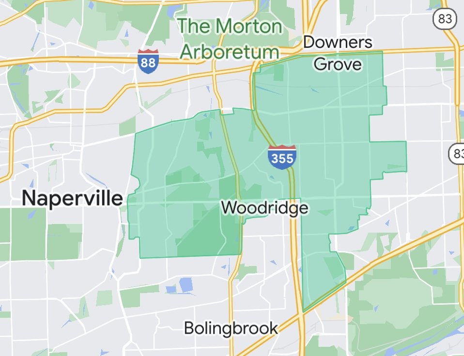
The 81st district is one of the prominent districts in the State of Illinois. It is located in the northeastern part of the state, with a population of over 120,000 residents. The district covers parts of western DuPage County, including the city of Naperville and some neighboring areas. The district map comprises a variety of communities, with diverse demographics and economic backgrounds. From bustling suburbs to rural towns, the district boasts a unique mix of cultures, traditions, and lifestyles.
Naperville, the district's largest city, is widely regarded as one of the most desirable places to live in the U.S. It boasts excellent schools, world-class amenities, and a vibrant downtown area. The city also has a reputation for being a hub of technological innovation and business development. The 81st district map also includes other notable towns, such as Downers Grove, Woodridge, Lisle, Darien and Westmont. These small but vibrant communities offer plenty of recreational activities, including nature trails, parks, and community events.
The 81st district is a wonderful place to live, work, and raise a family. Its diverse communities, robust economy, and excellent quality of life make it an attractive destination for many people looking for a better life.
https://www.google.com/maps/d/u/0/viewer?mid=10LP1kstQPUp3yQMz2FFD6May0yuH3BN3&ll=41.75745687756897%2C-88.04905899999997&z=12